Boston Freedom Trail & Historic Neighborhoods Walk
An interactive 16-stop guide to Boston's 2.5-mile Freedom Trail, Beacon Hill's cobblestone lanes, and North End Italian classics — from Boston Common to Bunker Hill Monument.
Boston Freedom Trail & Historic Neighborhoods Walk
What This Map Is
A curated, self-guided walking companion for one of America's most storied urban trails. The map combines the 12 most essential Freedom Trail sites with 2 Beacon Hill gems and 2 North End food stops, giving you a full picture of colonial Boston, Federal-era residential neighborhoods, and the Italian-American enclave that grew up around the trail's North End section.
The red dashed line on the map traces the actual trail route from Boston Common through downtown, across the North End, over the Charlestown Bridge, and on to Bunker Hill Monument — a total of about 2.5 miles on mostly flat, brick-paved streets.
Who It's For
- First-time Boston visitors who want to experience the city's founding history in a single day.
- Families with kids — the trail is stroller-friendly and each site has rangers or interpreters on site.
- History & architecture enthusiasts drawn to the oldest surviving buildings in the American colonies.
- Day-trippers from nearby cities (Providence, Hartford, Portland ME) looking for a walkable, full-day itinerary.
How to Use the Map
- Start at Boston Common (stop #1) and follow the numbered red markers north and east, then cross into Charlestown for the finale.
- Click any marker for a photo, description, visitor tip, directions link, and the venue's website.
- Toggle categories in the sidebar to show/hide the Freedom Trail route, Beacon Hill detour, or North End Eats.
- Click the sidebar stop list to fly the map to that location.
- The trail route line (dashed red) approximates the actual red-brick path embedded in Boston's sidewalks.
Top Stops at a Glance
| # | Stop | Why It Matters |
|---|---|---|
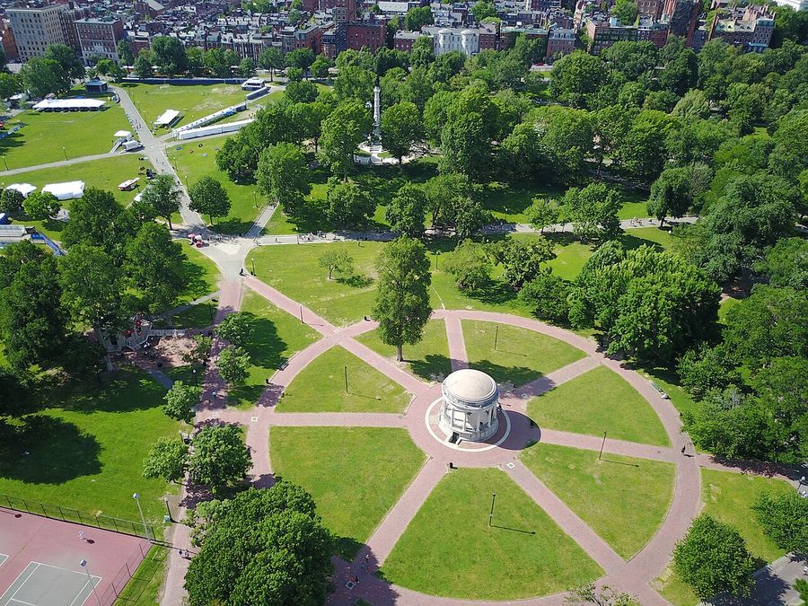
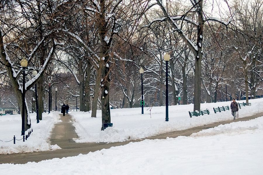
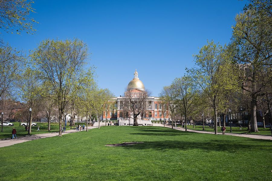
| 1 | Boston Common | America's oldest public park; pick up your trail map here |
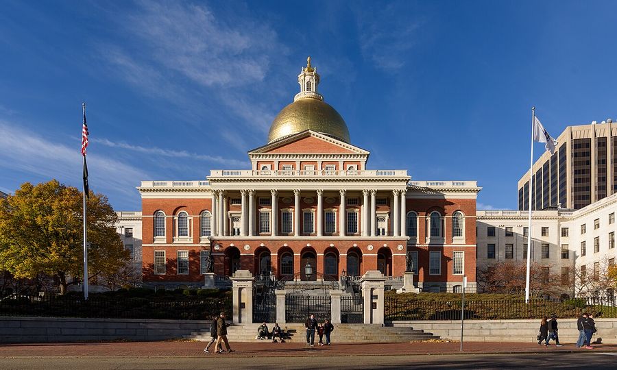
| 2 | Massachusetts State House | Bulfinch's gilded dome; free tours available |
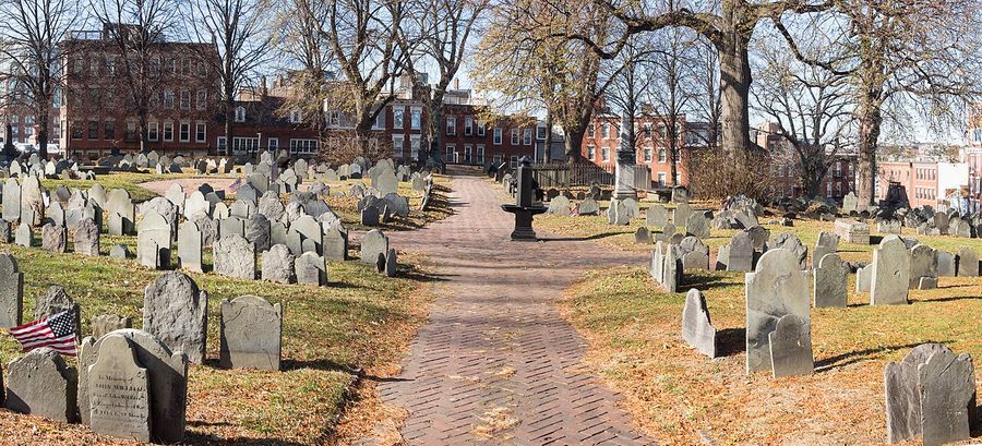
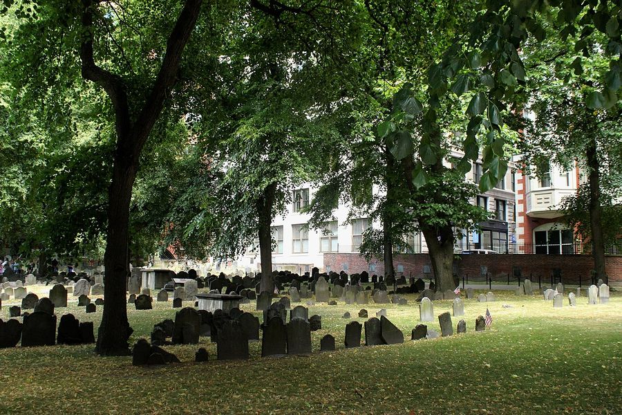
| 3 | Granary Burying Ground | Paul Revere, Sam Adams, and John Hancock at rest |
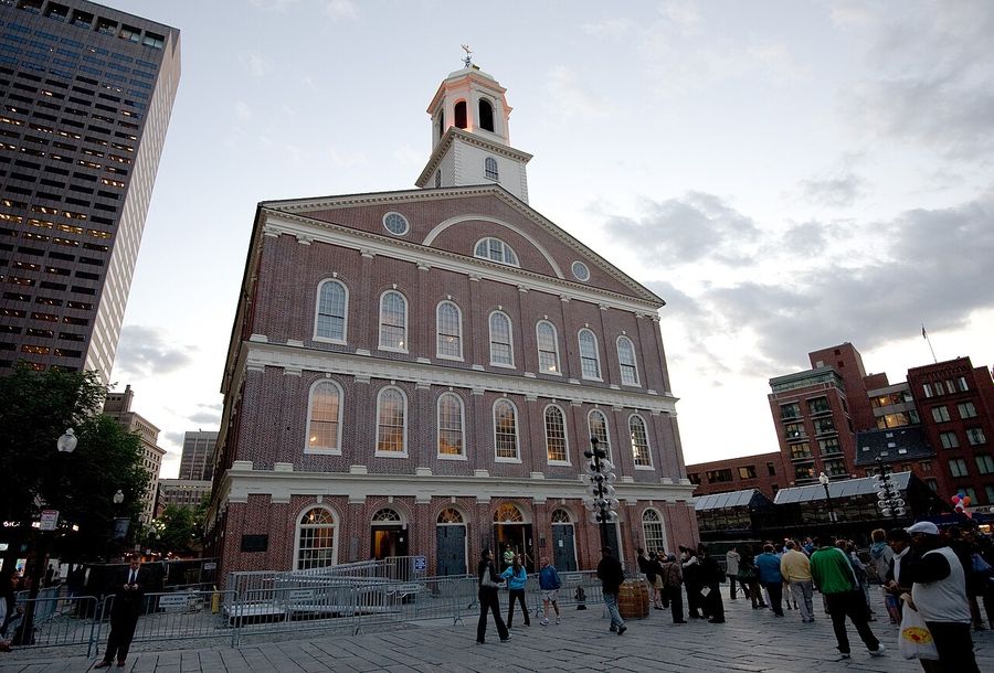
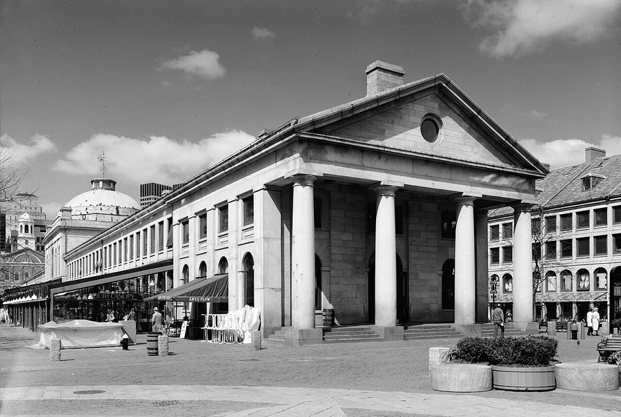
| 7 | Faneuil Hall | "Cradle of Liberty" where Revolution was debated |
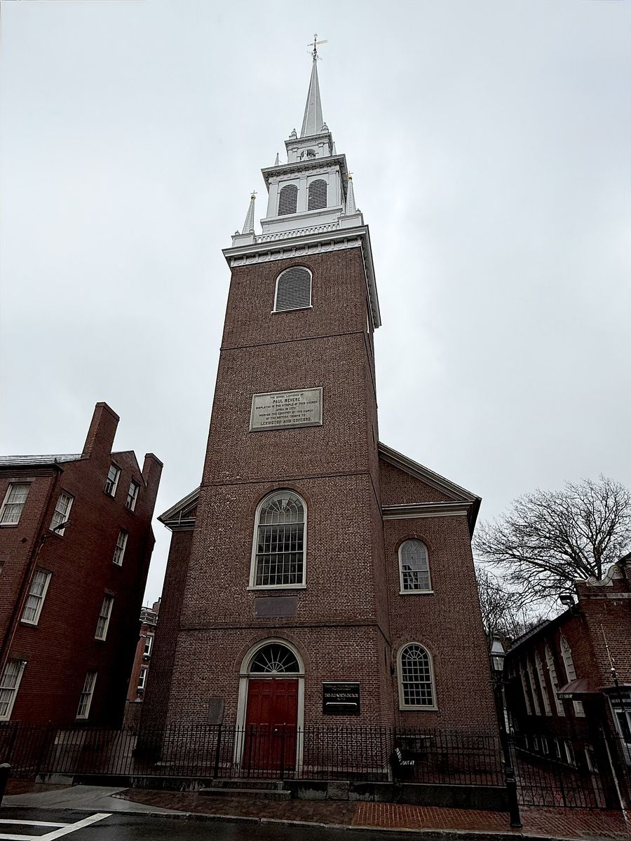
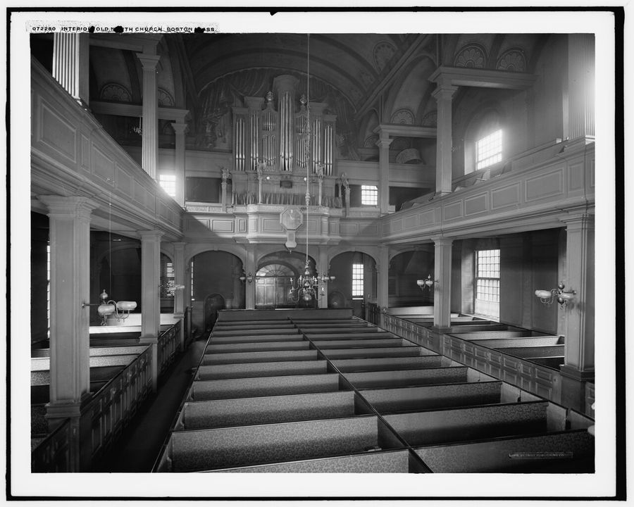
| 9 | Old North Church | Where "one if by land, two if by sea" began |
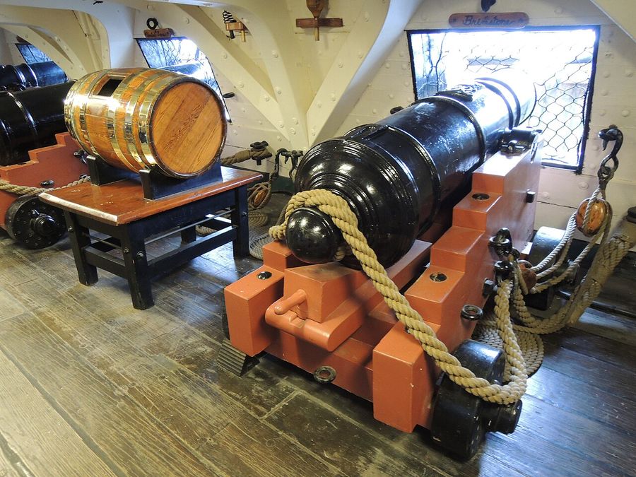
| 11 | USS Constitution | World's oldest commissioned warship still afloat |
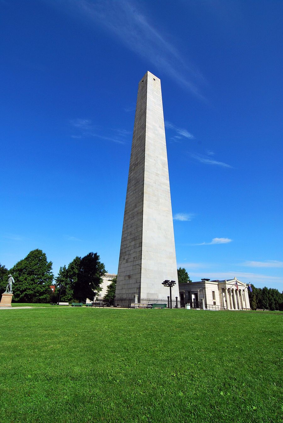
| 12 | Bunker Hill Monument | Climb 294 steps for a harbor panorama |
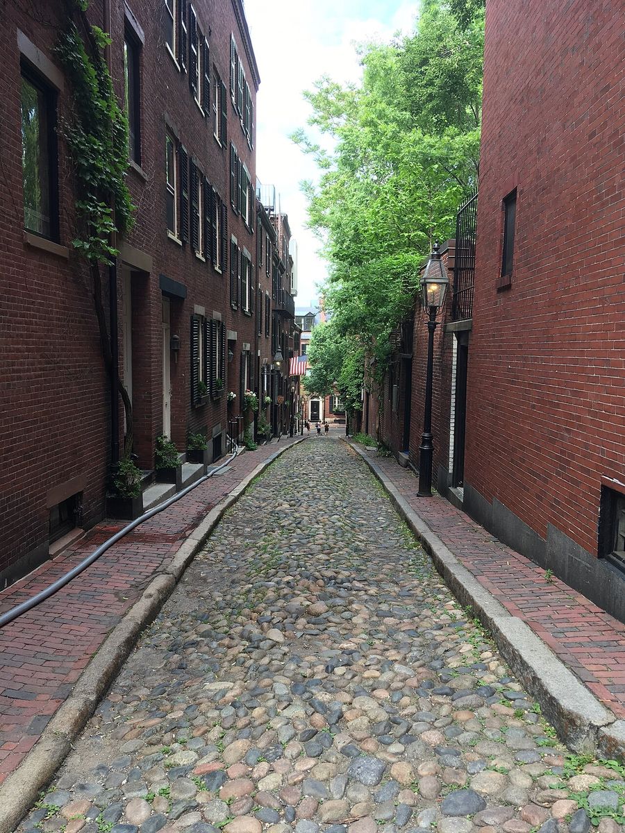
| 13 | Acorn Street | Most-photographed cobblestone lane in America |
| 15 | Mike's Pastry | Order-at-the-counter cannoli since 1946 |
Planning Your Day
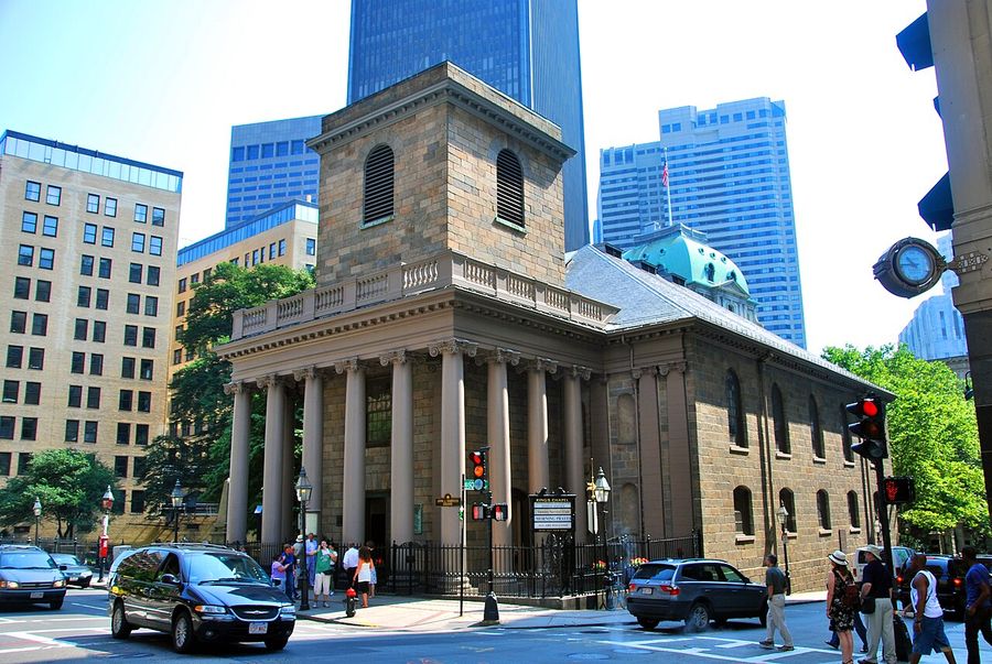
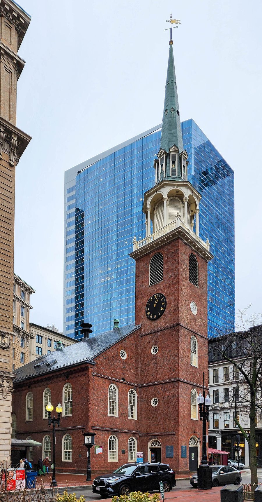
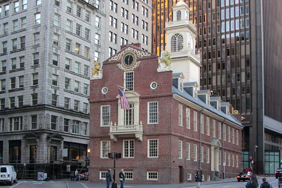
Half-day (3–4 hrs): Boston Common → Granary → King's Chapel → Old South Meeting House → Old State House → Faneuil Hall. Finish with lunch at Quincy Market or the North End.
Full day (6–8 hrs): Complete all 16 stops, including the Charlestown leg (USS Constitution + Bunker Hill). Budget extra time for museum interiors and lines at Mike's Pastry.
Getting There: T (MBTA) to Park Street station (Green/Red Line) — drops you directly at Boston Common. Return from Charlestown via the Community Boat Line ferry (seasonal) or walk back across the bridge for a different view.
Verify Before You Go
- USS Constitution timed-entry passes must be booked in advance at recreation.gov. Walk-up capacity is extremely limited in summer.
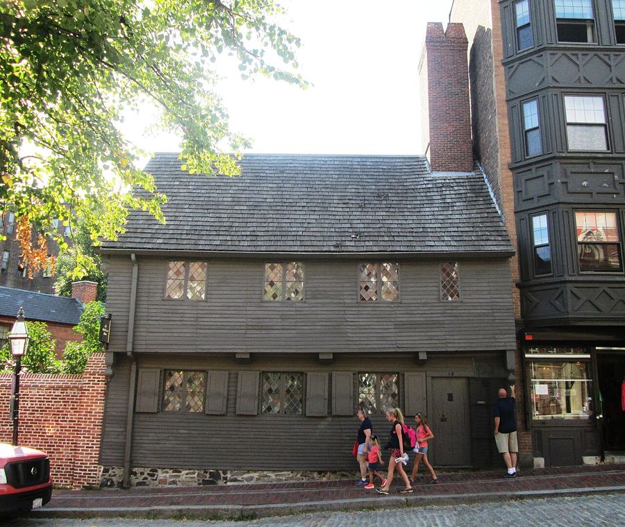
- King's Chapel, Old South Meeting House, Old State House, Paul Revere House charge admission; prices and hours change seasonally.
- Mike's Pastry and Regina Pizzeria have irregular holiday hours — check their websites if visiting on a holiday.
- Bunker Hill Monument elevator is out of service (open stairs only); confirm climb access at nps.gov.
- The Freedom Trail's outdoor sites (burying grounds, Boston Common, Copp's Hill) are free and open year-round.
Sources



More from Maps