American River Parkway — Folsom Lake to the Confluence
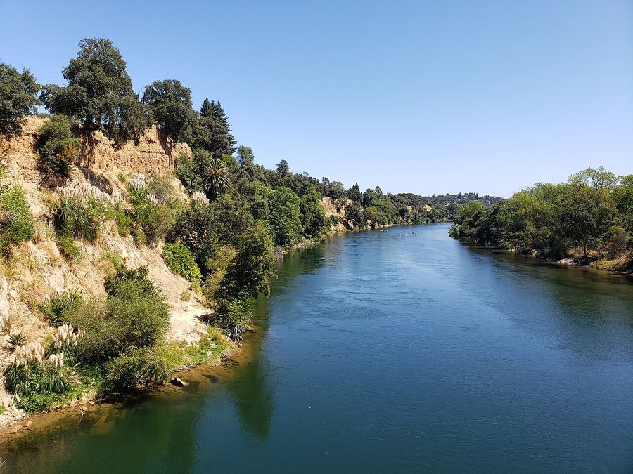
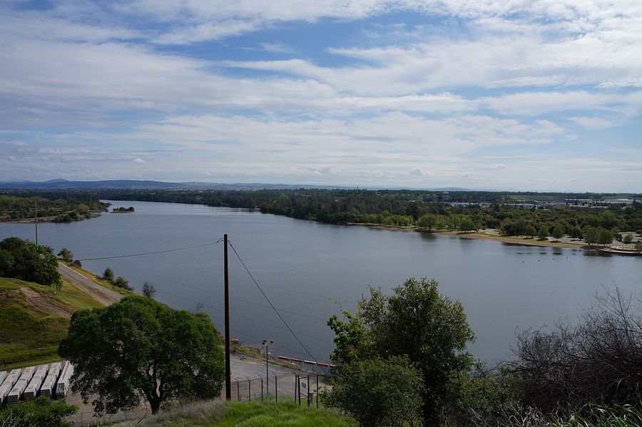
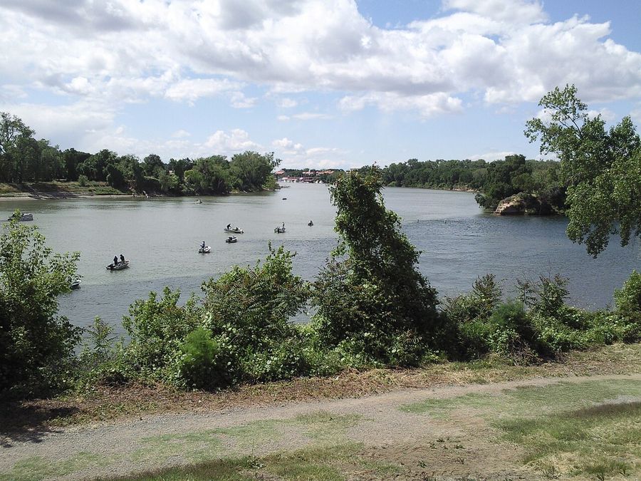
An interactive Leaflet map of 14 real parks, dams, beaches, and access points along the American River Parkway in Sacramento, from Beals Point on Folsom Lake to Discovery Park, where the American River meets the Sacramento River.
American River Parkway — Folsom Lake to the Confluence
The concept
The American River Parkway runs 32 miles along the Jedediah Smith Memorial Trail, from Folsom Lake down to the spot in Sacramento where the American River empties into the Sacramento River. Most people who bike or drive it only ever see their usual few miles. This map lays out the whole run west to east — sorry, east to west, downstream — as 14 stops across six categories:
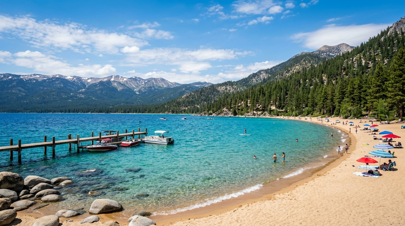
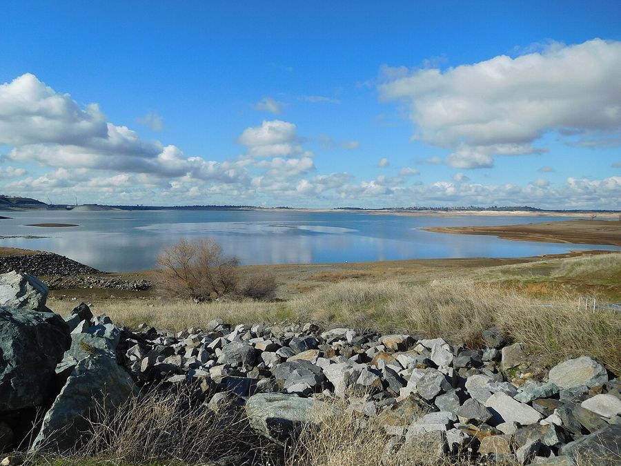
- 🔵 Lake & Reservoir Access — Beals Point on Folsom Lake, and Black Miners Bar on Lake Natoma.
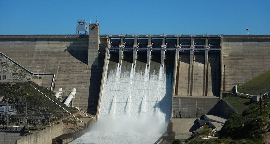
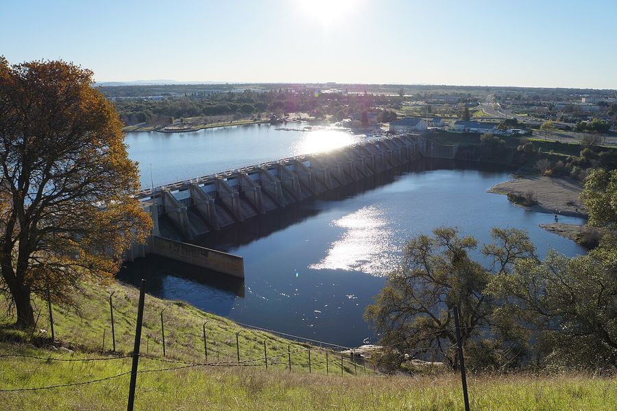
- 🟣 Dam & Fish Hatchery — Folsom Dam and Nimbus Dam, with the salmon-and-steelhead hatchery just below Nimbus.
- 🟢 Regional Park — Sailor Bar, Rossmoor Bar/Upper Sunrise, River Bend Park, Ancil Hoffman Park, and William B. Pond Recreation Area.
- 🟡 Nature Center — Effie Yeaw Nature Center, inside Ancil Hoffman Park.
- 🟠 River Access & Beach — Watt Avenue Access, Howe Avenue Access, and Paradise Beach.
- 🔴 Confluence Landmark — Discovery Park, the finish line.
Who it's for
Sacramento locals who've only explored their nearest stretch of the parkway, cyclists planning a longer ride than usual, and visitors who want a river-based alternative to the usual Old Sacramento itinerary. It also works as a reference for where to actually launch a kayak, where the fishing ponds are, and where the swimming is (mostly) safe.
How to use it
Open the map, toggle categories to compare, say, the dams against the parks, and click any pin or sidebar row for a photo, a short writeup, a practical tip, and one-tap directions. The dashed line traces the general downstream route from Folsom Lake to Discovery Park — it follows the stop order, not the river's actual meanders, so don't use it for turn-by-turn navigation.
Map file: american-river-parkway-folsom-lake-to-confluence_2026-07-31.html
Top stops
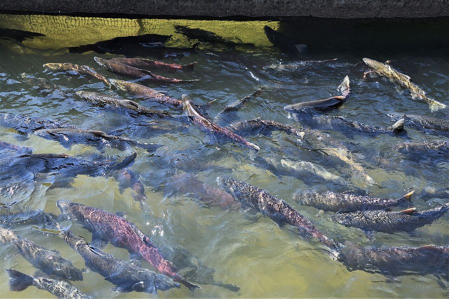
- Nimbus Fish Hatchery — free to visit, and during the fall Chinook run you can watch salmon move through the fish ladder a few feet away.
- Effie Yeaw Nature Center — 100 acres of oak woodland with a real shot at seeing deer, coyotes, and owls on a short walk.
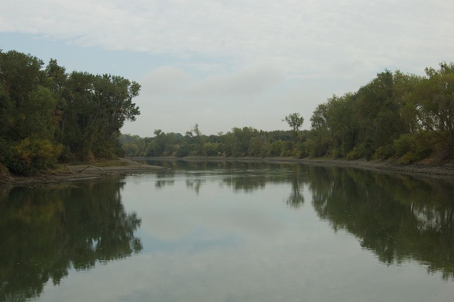
- Discovery Park — the confluence itself, where the American River's water visibly changes color as it joins the wider, slower Sacramento River.
- Black Miners Bar — calm, 5-mph water on Lake Natoma, and a name change worth knowing: this was Negro Bar for over a century before California State Parks renamed it in 2018 following public review.
- Paradise Beach — the closest thing to a real swimming beach on the lower river, tucked into an oxbow bend near CSU Sacramento.
Verify before you go
River conditions and park rules change with the season. Before visiting:
- Check current flow and water temperature through the American River Parkway Foundation (arpf.org) or Sacramento County Regional Parks — the river runs cold and fast off dam releases even in summer heat.
- None of these access points have lifeguards. Sacramento officials have documented dozens of water rescues most summers, concentrated at spots where the current looks calmer than it is. Free life-vest loaner stations exist at several access points, including Watt Avenue.
- Day-use and parking fees apply at some stops (Folsom Lake SRA, Sailor Bar) and not others (Paradise Beach, most river access points) — confirm current rates before you go.
- Nimbus Fish Hatchery's best viewing windows are seasonal — roughly the fall Chinook run and winter steelhead run — check wildlife.ca.gov for current run timing.
- Coordinates for several access points (Rossmoor Bar, River Bend Park, William B. Pond, Watt Avenue, Howe Avenue, Paradise Beach) are estimated from known addresses and park geography rather than pulled from an official GPS source — worth a quick pin-drop check before relying on them for navigation.
More from Maps