North Lake Tahoe Summer Guide
15-stop interactive guide to North Lake Tahoe summer outdoor activities, scenic viewpoints, hiking trails, and local restaurants recommended by regulars — spanning the California and Nevada shores.
North Lake Tahoe Summer Guide
A 15-stop interactive Leaflet map covering the best of North Lake Tahoe for a summer visit — curated across four categories: hiking trails into Desolation and Granite Chief Wilderness, iconic scenic viewpoints, water and beach recreation spots, and local restaurants that residents actually love.
Who This Map Is For
- Day-trippers and weekend visitors wanting to hit highlights without tourist-trap detours
- Hikers ranging from beginners (Eagle Lake, Stateline Fire Lookout) to fit adventurers (Rubicon Trail, Five Lakes)
- Families looking for beach days, paddleboarding, and free summer events
- Diners who want local recommendations over chain restaurants
How to Use It
Open the HTML file in any modern browser. Use the category filter buttons in the left panel to show only hikes, viewpoints, activities, or restaurants. Click any marker or sidebar item to open a popup with description, practical tip, photo, website link, and a Google Maps directions link.
Top Stops by Category
🥾 Hiking Trails (5 stops)
| # | Trail | Difficulty | Distance |
|---|---|---|---|
| 1 | Eagle Lake Trail | Moderate | 1.8 mi RT |
| 2 | Five Lakes Trail | Moderate | 4.4 mi RT |
| 3 | Vikingsholm Trail | Moderate | 1.7 mi RT |
| 4 | Rubicon Trail | Moderate | 7.7 mi RT |
| 5 | Stateline Fire Lookout | Easy | 1.8 mi loop |
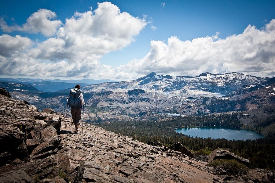
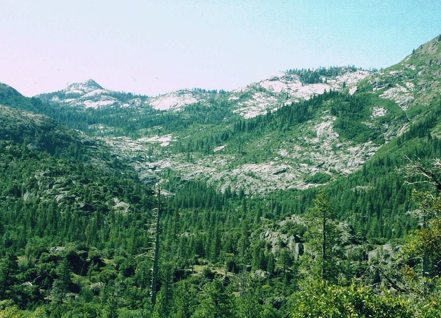
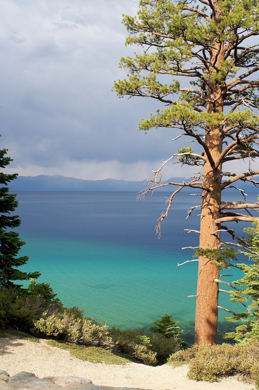
The Rubicon Trail from D.L. Bliss State Park is the crown jewel — the most scenic lakeside stretch in the entire Tahoe basin, hugging granite cliffs above the deep-blue water. Eagle Lake is the easiest crowd-pleaser: short, beautiful, dog-friendly.
🔭 Viewpoints (2 stops)
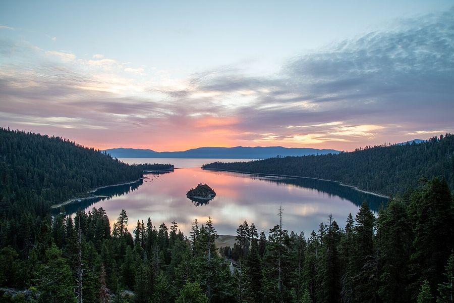
- Inspiration Point — pull off Hwy 89 for the classic Emerald Bay overlook. Free (with state park day-use) and wheelchair-accessible.
- Mt. Rose Scenic Overlook — free pullout at ~7,500 ft on SR 431 with a full panorama of the lake basin and Carson Valley.
🏄 Outdoor Activities (4 stops)
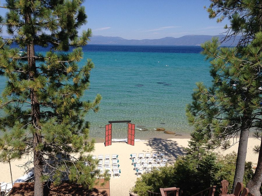
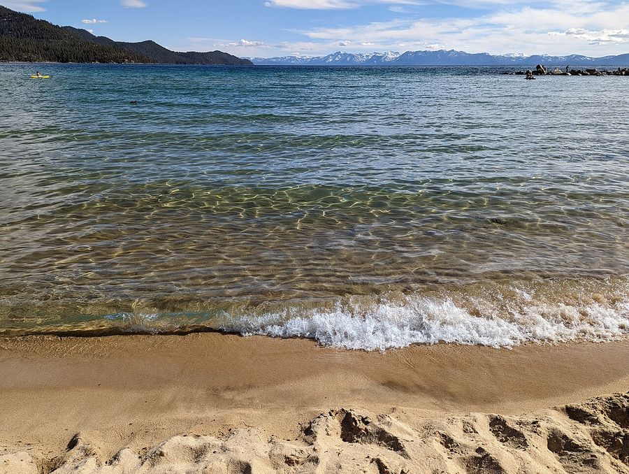
- Sand Harbor (Nevada) — best granite-boulder beach with turquoise water. Reserve parking May–Sept.
- Tahoe East Shore Trail — award-winning 4.5-mile paved bike/walk path with cove access and lake views.
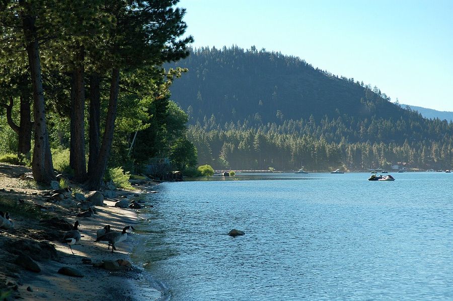
- Kings Beach — warmest water on the lake; paddleboard and kayak rentals on-site.
- Commons Beach (Tahoe City) — free concerts, movies, and rentals right in downtown Tahoe City.
🍽️ Local Restaurants (4 stops)
- Fire Sign Cafe (Tahoe City) — the breakfast institution. 40-year cult favorite. Get there before 8:30 AM.
- Soule Domain (Crystal Bay) — intimate fine dining in a 1927 log cabin. Reservations required.
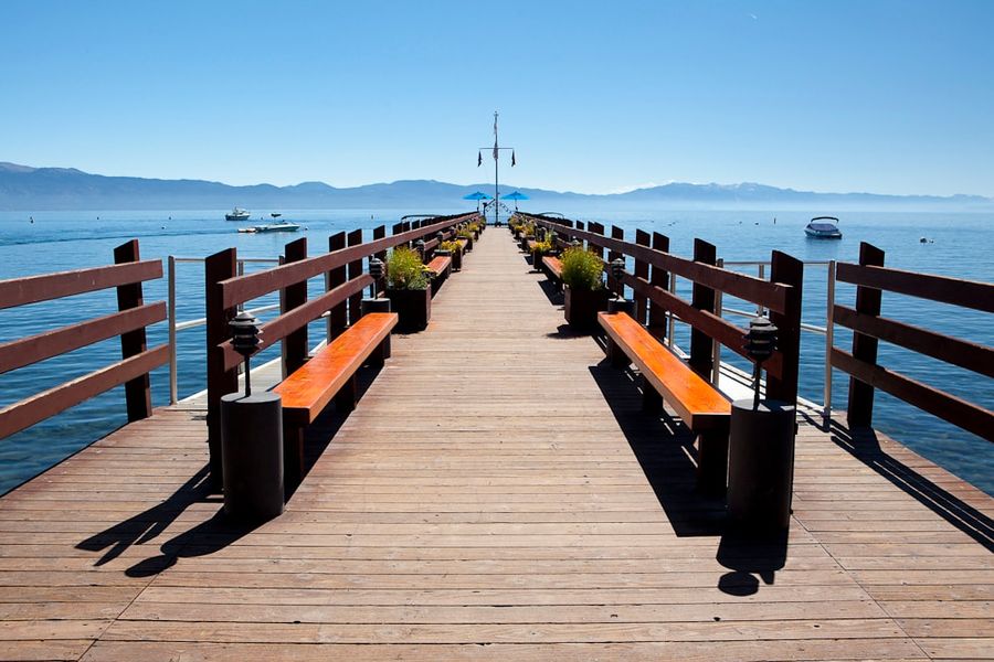
- Gar Woods Grill & Pier (Carnelian Bay) — lakefront dining with the famous Wet Woody cocktail and a long pier.
- Jason's Beachside Grille (Kings Beach) — 36 years running, deck on the water, ribs and French onion soup.
Verify Before You Go
- Trail permits for Desolation Wilderness (Eagle Lake, Rubicon) are self-issued at the trailhead in summer — no advance booking needed for day hikes, but check current LTBMU.fs.usda.gov rules.
- Sand Harbor requires advance parking reservations via ReserveNevada May 15–Sept 30.
- Restaurant hours vary seasonally — call ahead or check websites before making the drive.
- Road conditions: Hwy 89 around Emerald Bay and SR 431 to Mt. Rose can have delays or closures. Check Caltrans QuickMap or NDOT.
- Fire restrictions: Campfire and smoking bans can be in effect during dry periods. Check before lighting anything.
Generated 2026-07-14 using Claude (claude-sonnet-4-6) with WebSearch research from visitlaketahoe.com, USDA Forest Service, Nevada State Parks, AllTrails, and local source pages.
More from Maps